- Slug: BC-CNS-USGS Rita. 230 words.
- Photos and captions below.
By ANYA MAGNUSON and BRYCE NEWBERRY
Cronkite News
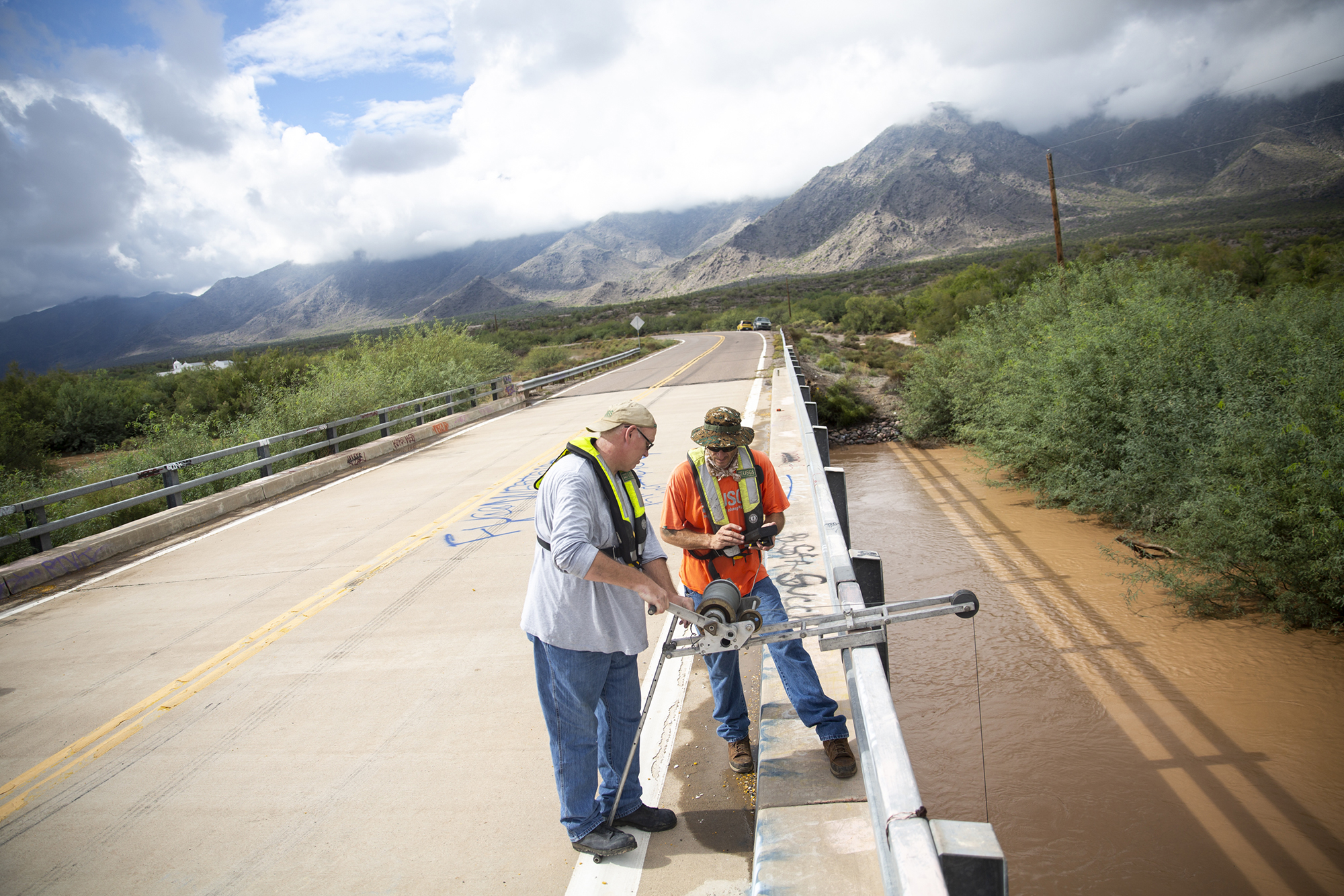
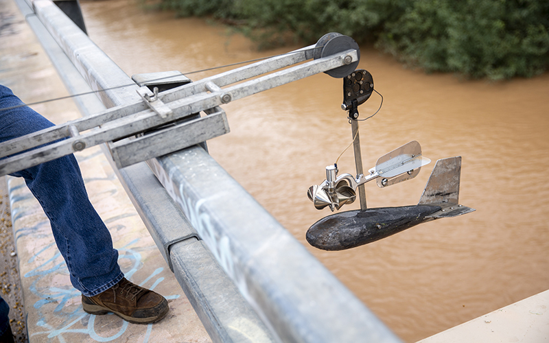
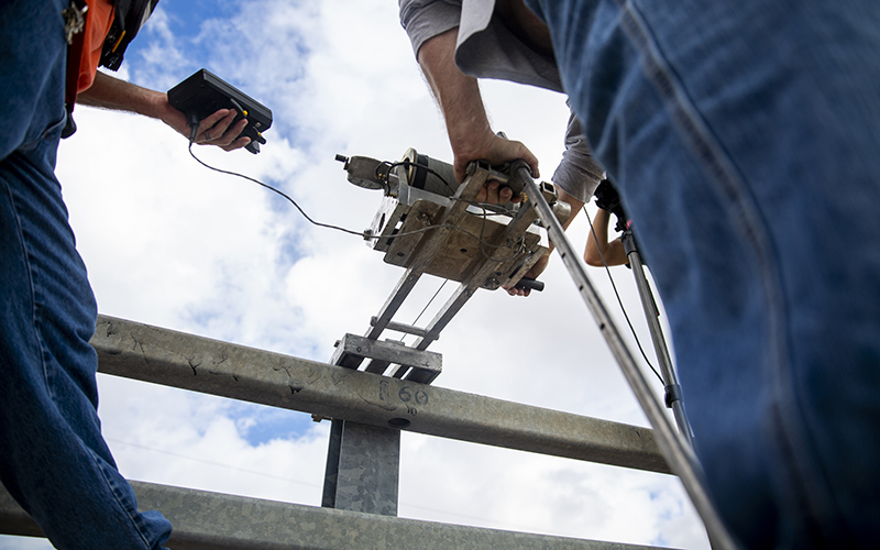
PHOENIX – Scientists with the U.S. Geological Survey scrambled Tuesday and Wednesday to measure flooding in waterways across metro Phoenix, providing data to help the National Weather Service better forecast potential floods and local agencies understand how high water could rise in the future.
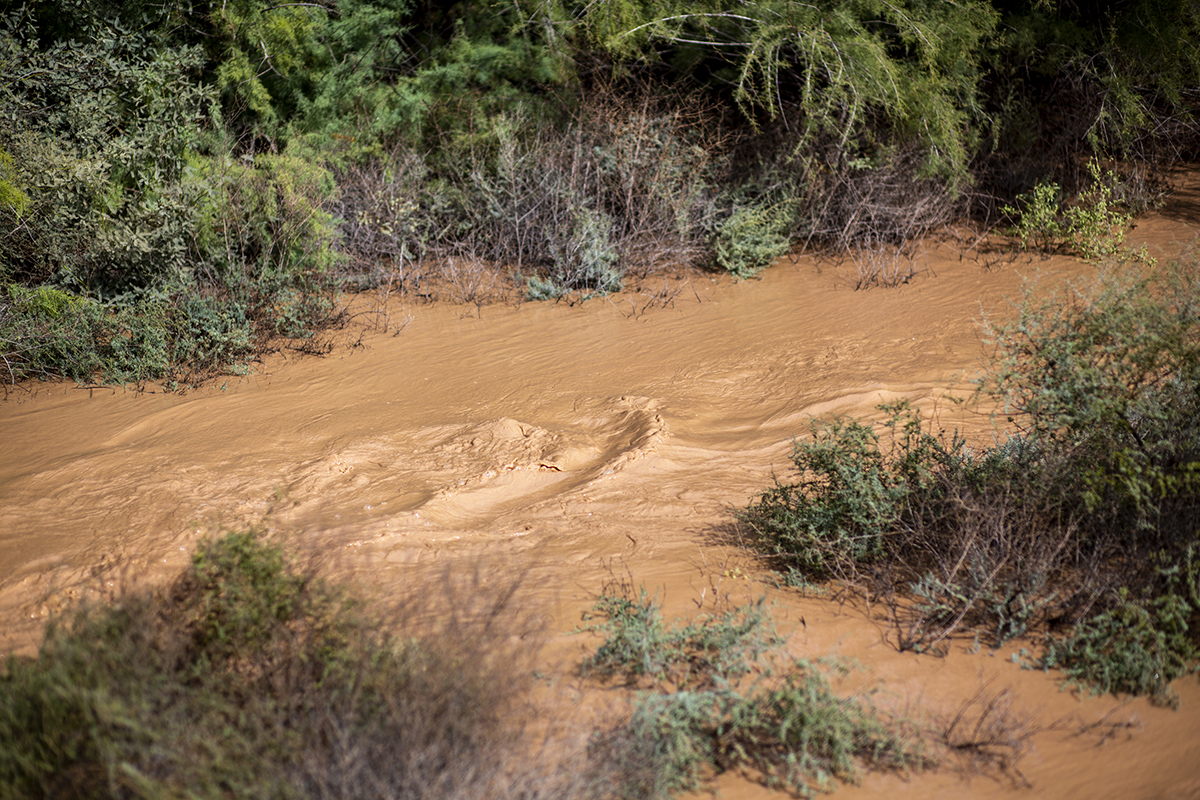
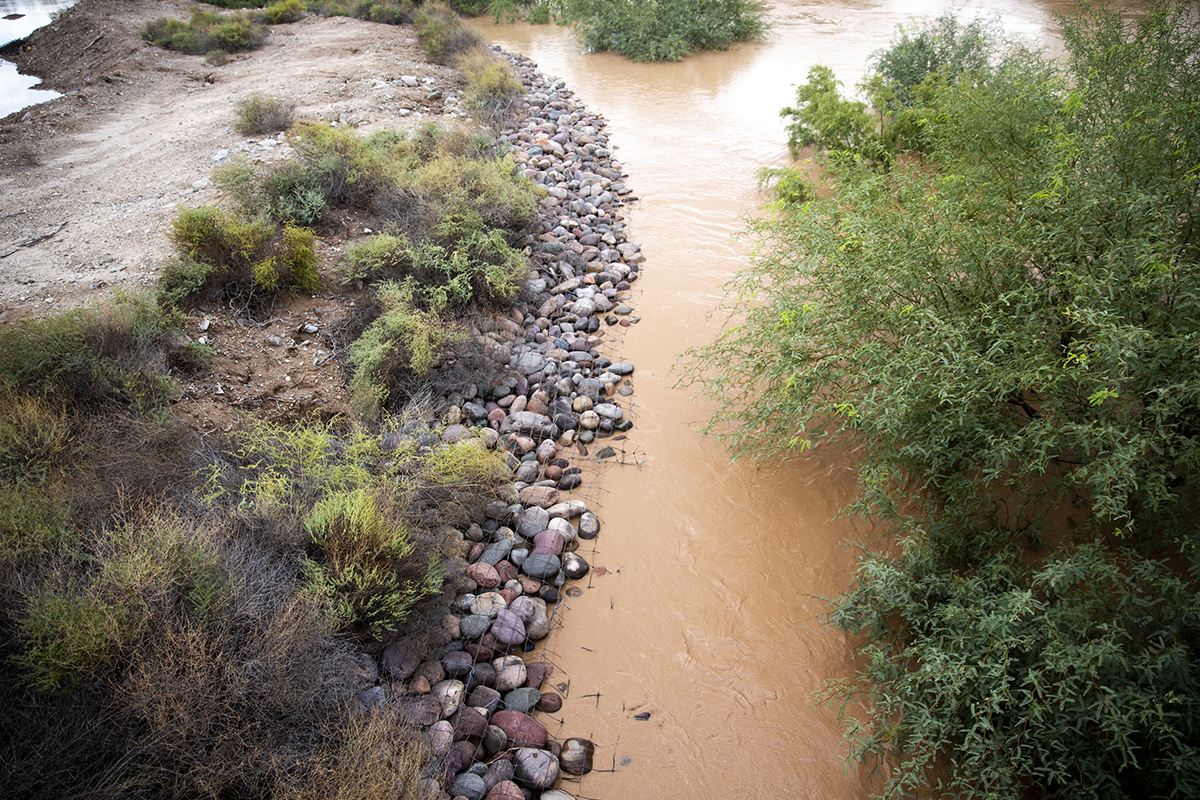
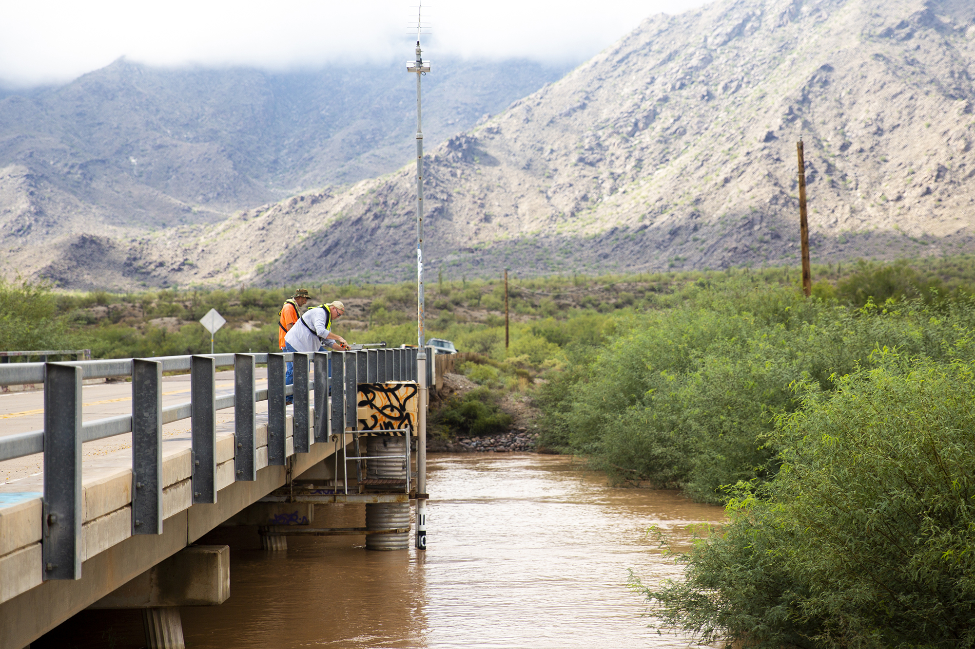
On Wednesday, a two-man crew was sent to the usually dry Santa Cruz River near Laveen, which was flowing rapidly. Hydrologic technician Arthur Rees and hydrologist Ken Fossum measured the water’s depth and velocity at multiple points. At its peak, the water was 8.5 feet deep and moving at 2,700 cubic feet per second. They described the flow as moderate but noted that the river has been dry for nearly a decade.
“It (Tropical Storm Rosa) dropped a lot of water but over sort of a longer period of time. And that creates sort of larger floods,” Rees said.
Before human settlement and climate change, the Santa Cruz, which begins in the Mexican highlands near Nogales, flowed north to its confluence with the Gila River near Laveen. The novelty of the flowing river captured the attention of passersby Wednesday, many of whom stopped to take photos.
The area hasn’t seen this much water for nearly 10 years, the hydrologists said. Even so, Rosa won’t pull Arizona out of a 20-year drought.
“It’s one storm, so you kind of need a trend in order to say that you’re out of the drought,” Rees said.
^_=