- Slug: BC-CNS-Desert Drones, 700 words
- Video story here
- Photos below
By TY SCHOLES
Cronkite News
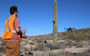
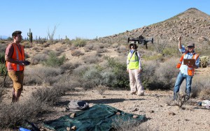
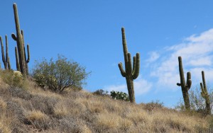
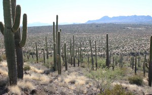
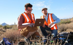
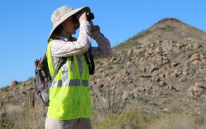
PHOENIX – Clad in neon vests and sun hats, Brenton Scott leads a team of researchers through the desert landscape of the McDowell Sonoran Preserve and a web of trails used mostly by horseback riders and mountain bikers who know how to find them.
“That looks like a good spot to launch,” he said, pointing at a relatively flat hilltop in the distance. “Just watch out for pokies,” Scott said, referring to the cactuses and spiny trees that inundate the desert.
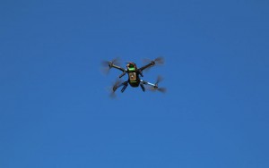
Arizona State University scientists like Scott are using drones to track the spread of buffelgrass, an invasive species originally from Africa that poses a threat to Sonoran Desert wildlife. The researchers are creating 3-D maps to find out how buffelgrass spreads to better manage the non-native plant.
“It spreads fast, it’s a fire hazard, it steals the water that the native plants need and it can create a monoculture, capable of really changing our Sonoran Desert ecosystem,” said Sandy Bahr, director of the Sierra Club’s Grand Canyon chapter.
“If we don’t start to manage it, people will see fewer Saguaros, Chollas and in some places, just a sea of grass,” she said.
The issue spurred the interest of Biodiversity Ph.D. student Brenton Scott, who wanted to use unmanned aerial vehicles for mapping to avoid contributing to the spread of the non-native species by disturbing the soil and further dispersing buffelgrass seeds.
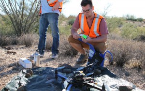
Benjamin Stinnett is Scott’s research assistant, a professional quadcopter pilot, UAV cinematographer and ASU undergraduate studying robotics. He has been tracking buffelgrass with Scott for months.
“You can imagine, having a bird’s-eye view on an environment is huge for ecologists,” said Stinnett. “If you have a drone, pilot with a bit of experience, and a decent camera, you can map an area faster and with more accuracy than ten years ago. Drones aren’t too expensive, and can produce higher resolution than using satellite images.”
Buffelgrass is a fast-spreading bunchgrass that originates from Africa and was brought to the United States for soil stabilization and cattle-grazing purposes after the Dust Bowl, a series of dust storms in the 1930s that devastated the Great Plains. But its high seed yield and resiliency has brought the species to colonize in the Sonoran Desert in recent decades.
The Sonoran Desert is historically fire resistant, with gaps of bare soil separating most native plants. However, buffelgrass fills in the bare soil, allowing fire to potentially wipe out plant life in a brush fire’s path.
Not only does buffelgrass create a fire hazard in the desert, but it could affect animal species.
“When native plants are crowded out, it has a cascade effect, because then the food that native wildlife eats and the shelter that wildlife uses disappear,” said Bahr. “If you have this monoculture of grass and none of the native plants, native wildlife can be pushed out of an ecosystem.”
Scott said that the drones’ low-impact approach is the best way to track its growth.
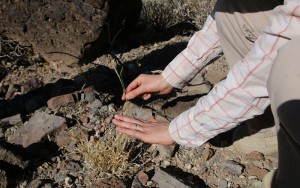
“They have botanists currently going out and analyzing this buffelgrass and when they do, they trample through it, spreading seeds which is very counterproductive,” said Scott. “But we can fly at a high enough vantage point where we have no effect on the grasses, no effect on the wildlife. We have a silent eye in the sky.”
Stinnett hopes that work like his might change how people think about drones.
“I think what’s really important for us as roboticists showing the world that we can use drones for good. They get a really bad rap and negative connotation when you see them flying into buildings and too close to airports,” said Stinnett. “By doing it in a safe and controlled manner, we can really show the public that drones can be used for good.”
